Rat-a-tat remote bush camp
You’ll be glad to shed your pack after a day of trekking to this peaceful mountain camp site shrouded in clouds.
Accessible by
- Walk-in
Camping area facilities
- Tent camping
- Long walk to tent
- Walking
-
![Fungi love the environment at this remote camp site.]() Fungi love the environment at this remote camp site.
Photo credit: Lightcapturer © Queensland Government
Fungi love the environment at this remote camp site.
Photo credit: Lightcapturer © Queensland Government
-
![Camp in the clouds!]() Camp in the clouds!
Photo credit: Lightcapturer © Queensland Government
Camp in the clouds!
Photo credit: Lightcapturer © Queensland Government

Always check
- Park alerts for the latest information on access, closures and conditions.
- Bureau of Meteorology weather forecasts.
- Current bushfire warnings and incidents and also fire bans and restrictions.
- Your camping permit is booked.
- Any park-specific camping information for
Lamington.
- Visiting Lamington safely for important safety information.
You need to be an experienced off-track walker with the right hiking equipment and excellent navigational skills to walk to this remote camp site.
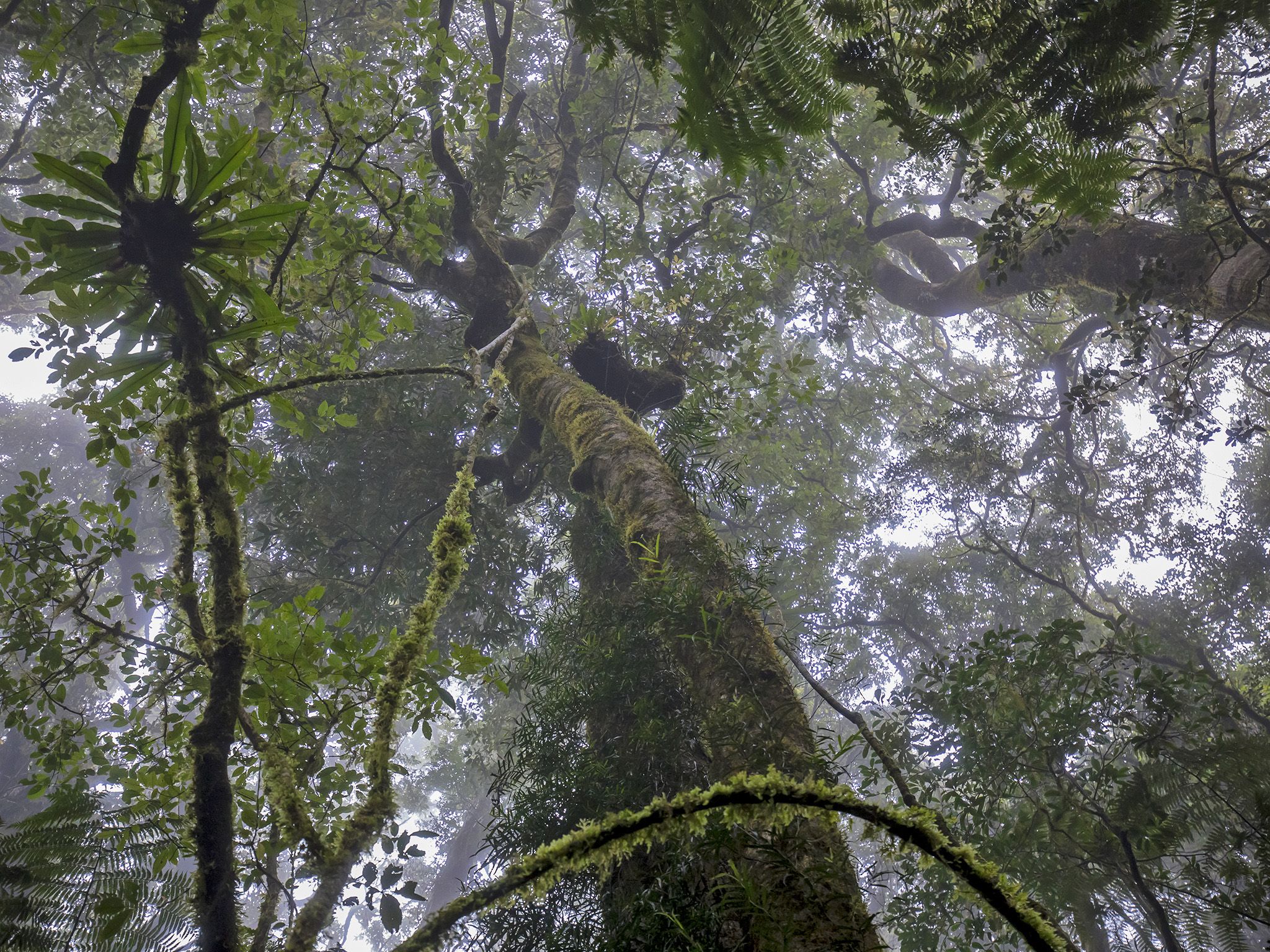
After a long day on your feet, set up camp on the steep edge of the escarpment on the Queensland–New South Wales border. Nestled in thick rainforest near Mount Durigan, the camp site is 1,020m above sea level. The camp site is often shrouded in cloud, keeping the environment moist and the moss and lichen flourishing. If the creek is dry head a little way downstream to the waterfall.
This park is part of the Gondwana Rainforests of Australia World Heritage Area, famed for its ongoing geological processes, evolutionary history, and diversity (especially of rare, threatened and endemic species).
Getting there and getting around
The Rat-a-tat remote bush camp site is in the Green Mountains section of Lamington National Park, 110km south of Brisbane.
- Map sheet—Lamington 9541-31. Grid reference—163 705.
- Follow the Border Track from the trailhead at the Green Mountains day-use area and use your map to navigate to Rat-a-tat.
- The walk is 13km and you will need to allow 6–7hr walking time to reach the camp.
For more details on how to get to Lamington National Park and wheelchair accessibility, please see getting there and getting around.
Before you visit
Opening hours
Rat-a-tat remote bush camp site (off-track) is open 24 hours a day. Check-in to your camp after 2pm and check-out by 11am on the next day. Bush camp sites can only be booked for a maximum of one night per group, per site.
Check park alerts for the latest information on access, closures and conditions.
Seasonal closures
The bush camp site is only open from 1 February to 30 November each year.
Camping area features: A rough bush camp site located near the escarpment on the Queensland–New South Wales border. There are no views from this site. Due to its higher elevation near the escarpment, this site is often in cloud cover that can make conditions damp.
Location: Map sheet: Tyalgum 9541-31, Grid reference: 163 705.
Access: Remote site off the graded walking track system on an unmarked trail and 6hr walk from the Border Track entrance.
Number of sites: No defined sites. Maximum of 8 people per night.
Camp sites are suitable for: fit, experienced, self-sufficient hikers.
Camp site surface: Dirt.
Facilities: None. Campers must be self-sufficient. Water collected from creeks should be treated before drinking. All rubbish (including food scraps) must be carried out.
Open fires: Prohibited—fuel stoves only.
Generators: Not permitted.
Essentials to bring: Fuel stove, drinking water, extra food, rubbish bags, first-aid kit, topographic map, compass, torch, warm clothing, wet weather gear and a small trowel for burying faecal waste. GPS, EPIRB (or PLB) are highly recommended. Read more about before you visit.
Bookings: Advance bookings are essential and must be booked online or learn about our camping booking options.
Mobile phone coverage: Poor.
Upcoming camping area availability
Visiting safely
For more safety information see Visiting Lamington safely and camp with care.
- Partial track closure - West Canungra Creek circuit 26 March to 31 May 2024
- Temporary track closure - Morans Falls track 14 February to 3 May 2024
- Temporary walking track closure - Lower Bellbird track. 8 January to 31 May 2024