Wyberba walk
Stroll beside the peaceful waters of Bald Rock Creek for magnificent views of The Pyramid and springtime wildflower displays.
- Journey type
- Walk
- Distance
- 280m one way A path where the start point is different to the finish point
- Time suggested
- Allow 15min walking time.
- Grade
- Grade 2 walking track
Accessible by
- Conventional vehicle
Journey facilities
- Lookout (constructed)
- Wheelchair access (may require assistance)
- Walking
-
![Admire spring wildflower displays on the Wyberba walk.]() Admire spring wildflower displays on the Wyberba walk.
Photo credit: © Robert Ashdown
Admire spring wildflower displays on the Wyberba walk.
Photo credit: © Robert Ashdown
-
![Look for birds along the track and aquatic life in the creek on the Wyberba walk.]() Look for birds along the track and aquatic life in the creek on the Wyberba walk.
Photo credit: Maxime Coquard © Queensland Government
Look for birds along the track and aquatic life in the creek on the Wyberba walk.
Photo credit: Maxime Coquard © Queensland Government
-
![Enjoy a peaceful stroll through the bush on the Wyberba walk.]() Enjoy a peaceful stroll through the bush on the Wyberba walk.
Photo credit: Maxime Coquard © Queensland Government
Enjoy a peaceful stroll through the bush on the Wyberba walk.
Photo credit: Maxime Coquard © Queensland Government

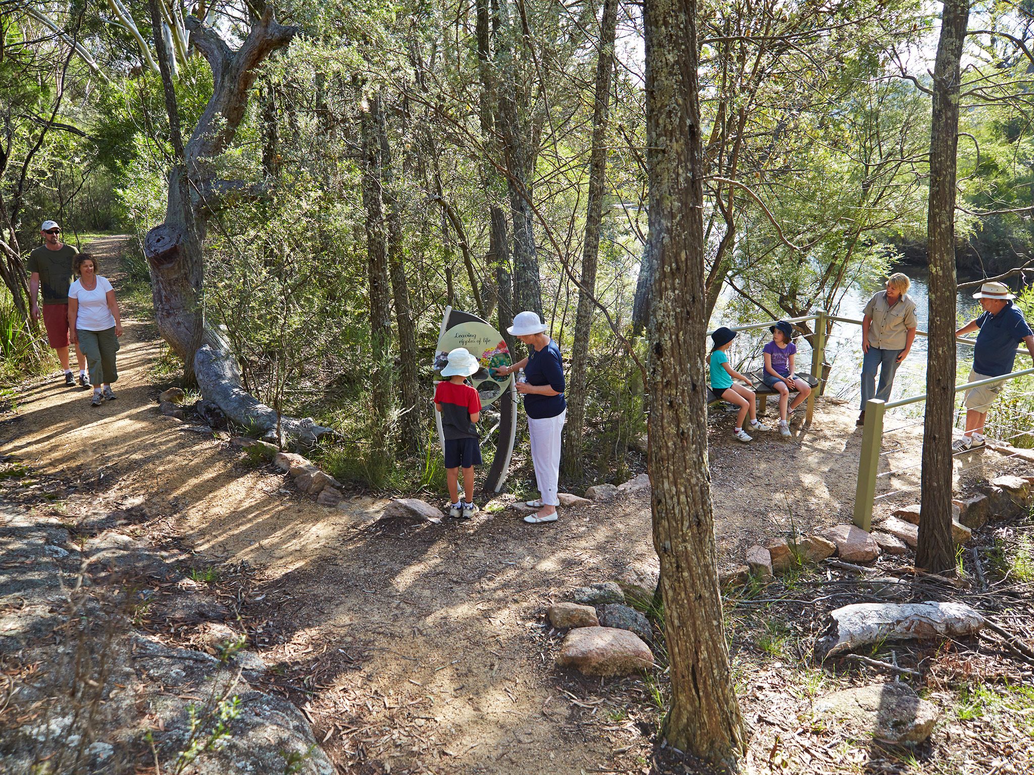

Starting from the Bald Rock Creek day-use area this round trip offers some superb birdwatching and wildlife-spotting opportunities. In spring enjoy colourful wildflower displays and during the warmer months, cool off in the permanent waterhole. Stop to take a break at the lookout, gaze at the reflections on the water's surface, and soak up the impressive views across to The Pyramid.
Watch cormorants and wood ducks resting on boulders in the creek and look in the understorey for superb fairy-wrens, thornbills and bowerbirds. If are lucky, you’ll catch glimpse of Girraween's unique Bell's turtle basking beside the creek.
Getting there and getting around
Wyberba walk is one of the northern walks in Girraween National Park, located on the Queensland–New South Wales border, 260km south-west of Brisbane.
Wyberba walk begins at the Bald Rock Creek day-use area, just east of the Girraween Visitor Centre
There are two access roads (northern and western) to the day-use area, both accessible by conventional vehicles.
From Brisbane to western entrance
- Drive about 220km south-west along the New England Highway via Warwick to Stanthorpe.
- Continue 26km along the New England Highway to Wyberba (30km north of Tenterfield).
- Turn onto Pyramids Road and follow this winding bitumen road through the Wyberba Valley 6km east to the western park entrance.
- Drive about 3km to the Bald Rock Creek day-use area.
From Brisbane to northern entrance
- Drive about 220km south-west along the New England Highway via Warwick to Stanthorpe.
- Turn onto Sugarloaf Road, which turns into Eukey Road and drive about 15km via Storm King Dam towards Eukey.
- About 1km before Eukey, turn onto Breens Road, drive 2.5km then turn onto Pyramids Road and drive about 6km to the northern park entrance.
- Drive about 4km to the Bald Rock Creek day-use area.
Wheelchair access
Wyberba walk is wheelchair accessible.
Before you visit
Opening hours
Wyberba walk is open 24 hours a day.
Check park alerts for the latest information on access, closures and conditions.
Visiting safely
For more safety information see Visiting Girraween safely and Walk with care.
- There are currently no park alerts for this park.