Underground Creek track
Discover spectacular springtime wildflowers, water-sculpted rocks and Girraween's richly diverse landscapes in this popular walk.
- Journey type
- Walk
- Distance
- 2.8km return Start and finish points are the same and the traveller must return via the same path
- Time suggested
- Allow 1–1.5hr walking time.
- Grade
- Grade 3 walking track
Accessible by
- Conventional vehicle
- Bicycle
Journey facilities
- Walking
-
![See water-scultped granite rocks on this walk.]() Photo credit: Sarah Haskmann
Photo credit: Sarah Haskmann
-
![Discover water-sculpted rocks and swirling eddies of Bald Rock Creek on the Underground Creek track.]() Discover water-sculpted rocks and swirling eddies of Bald Rock Creek on the Underground Creek track.
Photo credit: © Hannah Beaumont
Discover water-sculpted rocks and swirling eddies of Bald Rock Creek on the Underground Creek track.
Photo credit: © Hannah Beaumont
-
![The Underground Creek track features spectacular wildflowers and varied birdlife.]() The Underground Creek track features spectacular wildflowers and varied birdlife.
Photo credit: © Hannah Beaumont
The Underground Creek track features spectacular wildflowers and varied birdlife.
Photo credit: © Hannah Beaumont
-
![Marvel at the disappearing creek on this walk.]() Photo credit: Lachlan Gardiner
Photo credit: Lachlan Gardiner


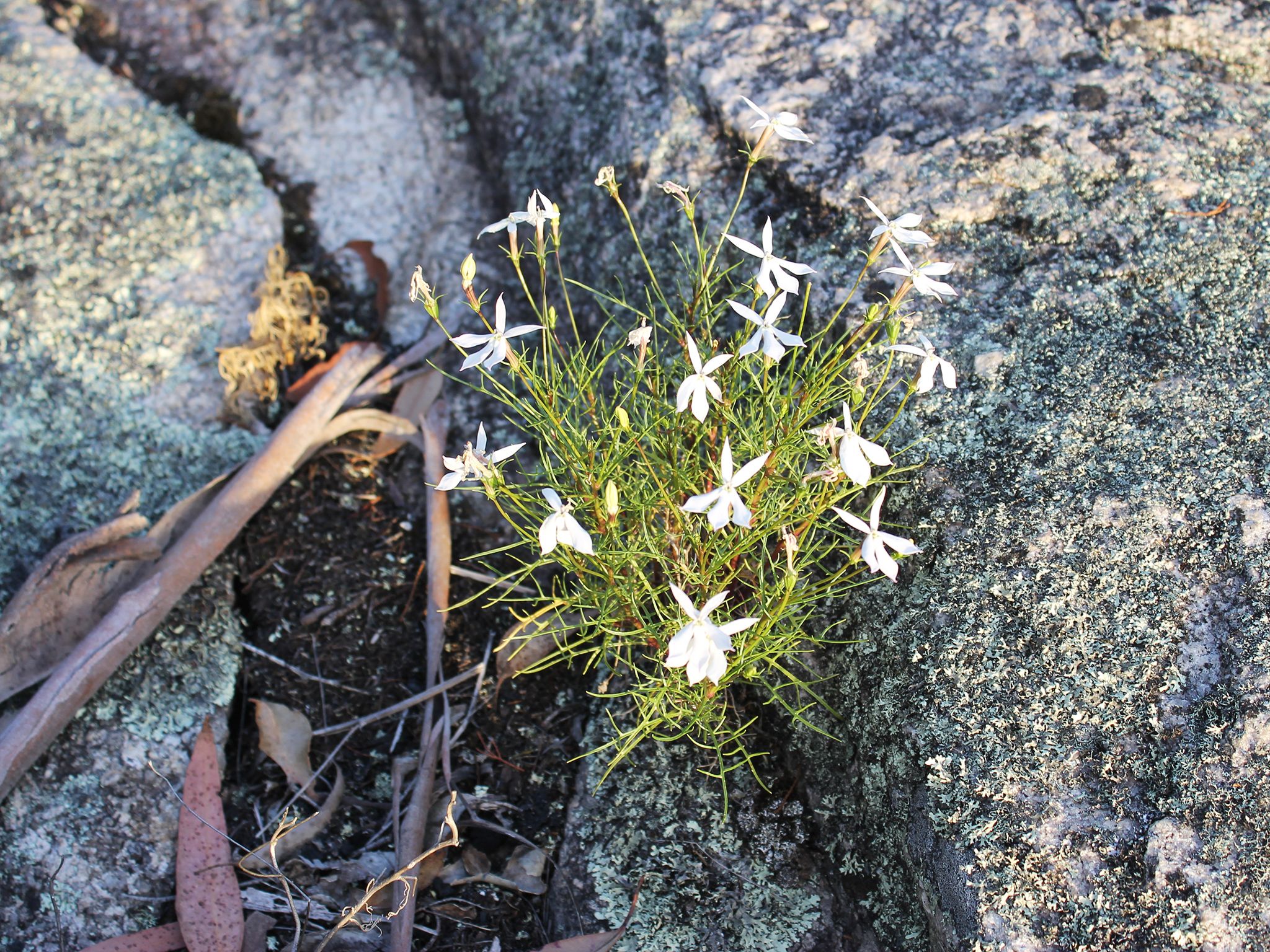

Leave Dr Roberts Waterhole and stroll through swamp communities, woodland and shrub lands on the way to Underground Creek. Enjoy spectacular wildflowers, spot varied birdlife as you walk. Read the sign to find out more about the extraordinary geology and landforms that make Girraween unique.
Then encounter a creek that seemingly disappears beneath boulders that have fallen from cliffs above! Underground Creek is an ideal place to explore. Bring your camera and capture the smooth water-sculpted rocks and swirling eddies of Bald Rock Creek as it seemingly disappears underground to reappear again downstream.
Getting there and getting around
Underground Creek track is one of the eastern walking tracks in Girraween National Park, located on the Queensland–New South Wales border, 260km by road south-west of Brisbane.
The Underground Creek track begins at the Dr Roberts car park. There are two access roads (northern and western) to the car park, both accessible by conventional vehicles.
From Brisbane to western entrance
- Drive about 220km south-west along the New England Highway via Warwick to Stanthorpe.
- Continue 26km along the New England Highway to Wyberba (30km north of Tenterfield).
- Turn onto Pyramids Road and follow this winding bitumen road through the Wyberba Valley 6km east to the western park entrance.
- Drive about 3km to the Girraween Visitor Centre and continue 4km east along Pyramids Road until you reach Dr Roberts car park.
From Brisbane to northern entrance
- Drive about 220km south-west along the New England Highway via Warwick to Stanthorpe.
- Turn onto Sugarloaf Road, which turns into Eukey Road and drive about 15km via Storm King Dam towards Eukey.
- About 1km before Eukey, turn onto Breens Road, drive 2.5km then turn onto Pyramids Road and drive about 6km to the northern park entrance.
- From here, Dr Roberts car park is only a short distance inside the park.
Wheelchair access
There are no wheelchair-accessible facilities.
Before you visit
Opening hours
Underground Creek track is open 24 hours a day.
Check park alerts for the latest information on access, closures and conditions.
Visiting safely
For more safety information see Visiting Girraween safely and Walk with care.
- There are currently no park alerts for this park.