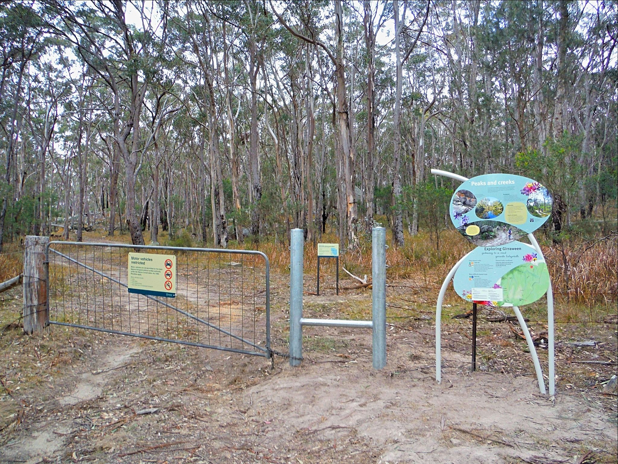
Creek trail
If you are an adventurous family, walk or ride your way over slight inclines, open exposed areas and creek crossings on this shared trail.
- Journey type
- Walk, cycle
- Distance
- 3.5km circuit The same start and finish point, but the traveller doesn’t return along the same path
- Time suggested
- Allow 1hr walking time or 30min riding time (variable depending on rider).
- Grade
- Grade 3 walking track Easy mountain-bike trail
Accessible by
- Conventional vehicle
- 4WD
Journey facilities
- Walking
- Cycling
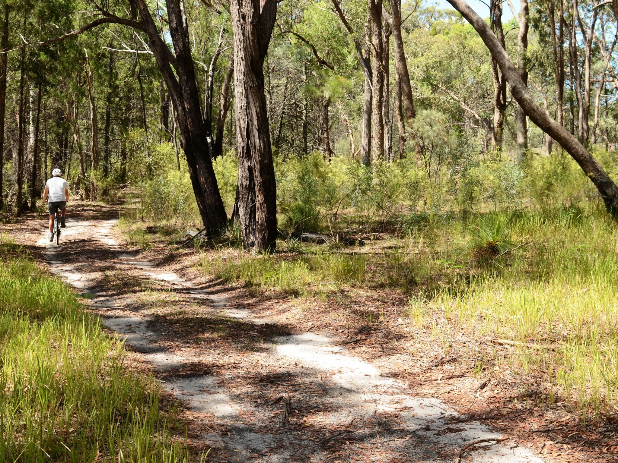
Explore Girraween's remote back country, dominated by tall stands of white and red gum trees. Whether you walk or ride, this easy and well-defined track is perfect for the whole family.
In spring you’ll be surrounded by a spectacular display of wildflowers in full bloom, attracting many birds and animals. Make sure you are armed with binoculars when you set out! In the cooler months, listen for the fluid song of the superb lyrebird, one of nature's most impressive mimics. Stop for a rest along Bald Rock Creek, and if you are quiet, you might see some of Girraween's wildlife coming down to the water for a drink.
Getting there and getting around
The Creek trail is one of the southern trails in Girraween National Park, located on the Queensland–New South Wales border, 260km by road south-west of Brisbane.
There are three access roads (northern, western and southern) to the start of the trail. Two are accessible by conventional vehicles while the southern route along Mount Norman Road from Wallangarra is 4WD access only.
From Brisbane to western entrance
- Drive about 220km south-west along the New England Highway via Warwick to Stanthorpe.
- Continue 26km along the New England Highway to Wyberba (30km north of Tenterfield).
- Turn onto Pyramids Road and follow this winding bitumen 9km east through the Wyberba Valley to the Girraween Visitor Centre.
- Continue a further 5km along the unsealed road through the park, and turn right onto Mount Norman Road when you reach the park boundary.
- Continue 500m to the trail head.
From Brisbane to northern entrance
- Drive about 220km south-west along the New England Highway via Warwick to Stanthorpe.
- Turn onto Sugarloaf Road, which turns into Eukey Road and drive about 15km via Storm King Dam towards Eukey.
- About 1km before Eukey, turn onto Breens Road, drive 2.5km then turn onto Pyramids Road and drive about 6km to the northern park entrance.
- Turn left and continue 500m to the trail head on Mount Norman Road.
From Tenterfield to southern entrance
- In Wallangarra, cross to the eastern side of the railway line, go over the railway bridge and turn left onto sealed and signposted Mount Norman Road.
- After about 2km, the road changes to gravel. Turn right across a grid and continue for 1km then turn right at the water treatment plant and enter the park.
- Drive 3.5km along Mount Norman Road to the Mount Norman day-use area and continue north to the northern park boundary and the trail head. Some sections of this road are suitable for 4WD only.
- Read 4WD with care for important information on 4WD safety and minimal impact driving.
Wheelchair access
There are no wheelchair-accessible facilities.
Before you visit
Opening hours
Creek trail is open 24 hours a day.
Check park alerts for the latest information on access, closures and conditions.
Visiting safely
For more safety information see:
- There are currently no park alerts for this park.