Mon Repos coastal track
Amble along this gentle coastal walk, richly steeped in South Sea Islander and Australian aviation history.
- Journey type
- Walk
- Distance
- 4.5km return Start and finish points are the same and the traveller must return via the same path
- Time suggested
- Allow 2hr walking time.
- Grade
- Grade 2 walking track
Accessible by
- Conventional vehicle
- Bicycle
Journey facilities
- Walking
-
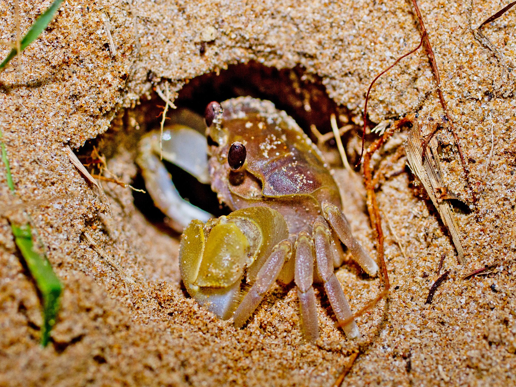
![Look for crabs and their telltale burrows on the beach.]() Look for crabs and their telltale burrows on the beach.
Photo credit: Robert Ashdown © Queensland Government
Look for crabs and their telltale burrows on the beach.
Photo credit: Robert Ashdown © Queensland Government
-
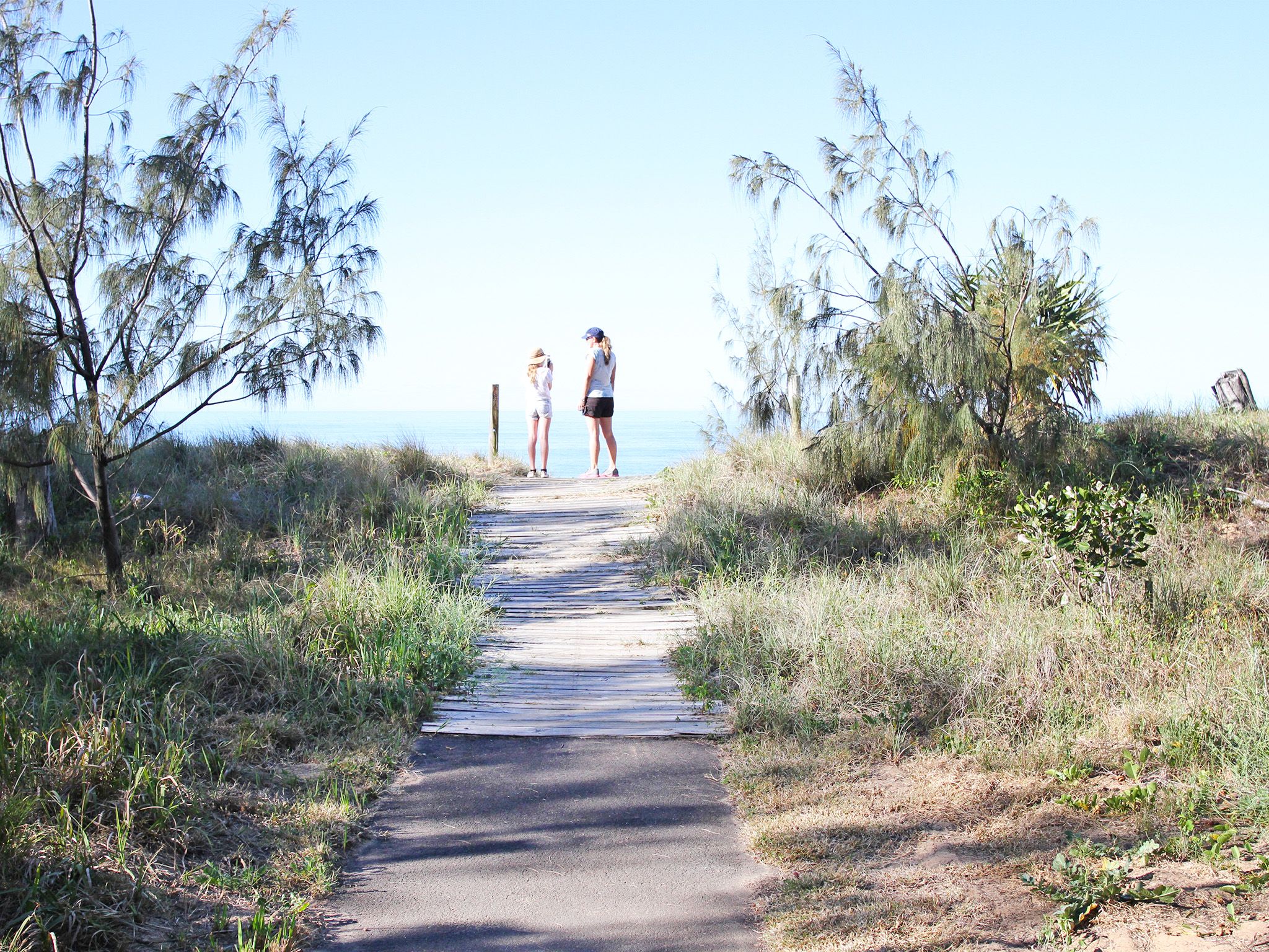
![Endless coastal views lay before you.]() Endless coastal views lay before you.
Photo credit: © John Gatley
Endless coastal views lay before you.
Photo credit: © John Gatley
-
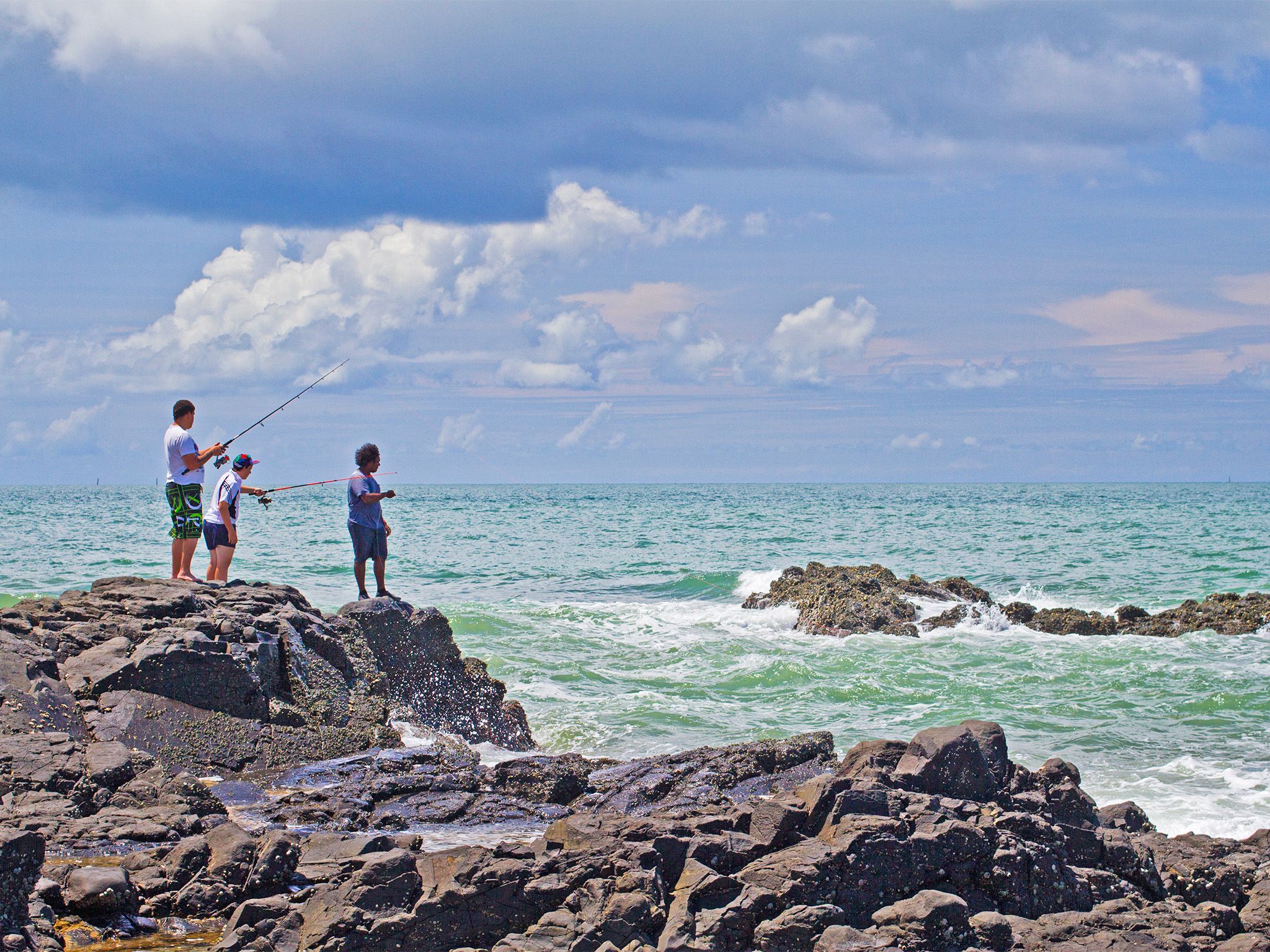
![Try your luck from the rocky foreshore]() Try your luck from the rocky foreshore.
Photo credit: Robert Ashdown © Queensland Government
Try your luck from the rocky foreshore.
Photo credit: Robert Ashdown © Queensland Government
-
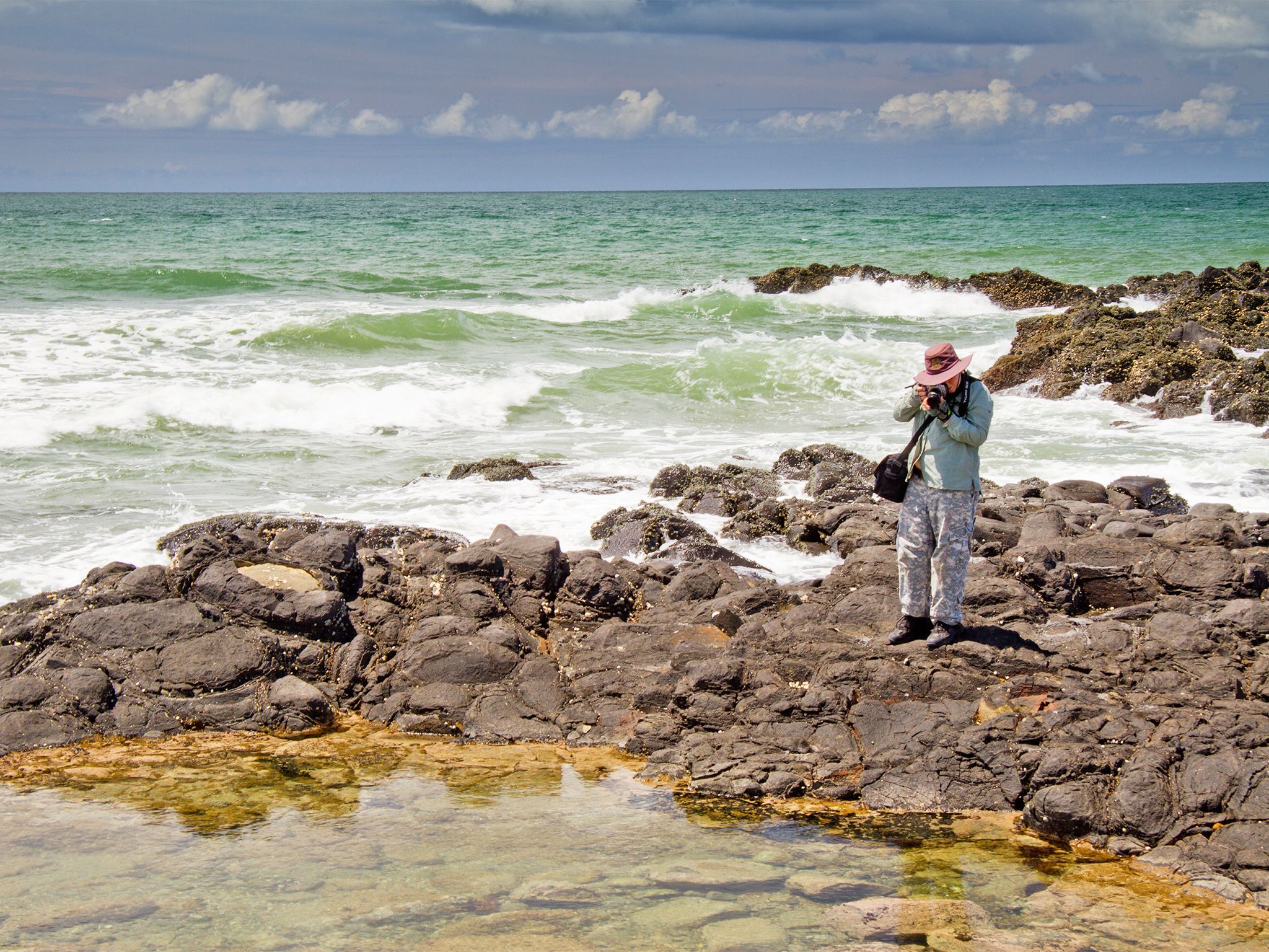
![Explore the rock pools at low tide.]() Explore the rock pools at low tide.
Photo credit: Robert Ashdown © Queensland Government
Explore the rock pools at low tide.
Photo credit: Robert Ashdown © Queensland Government
-
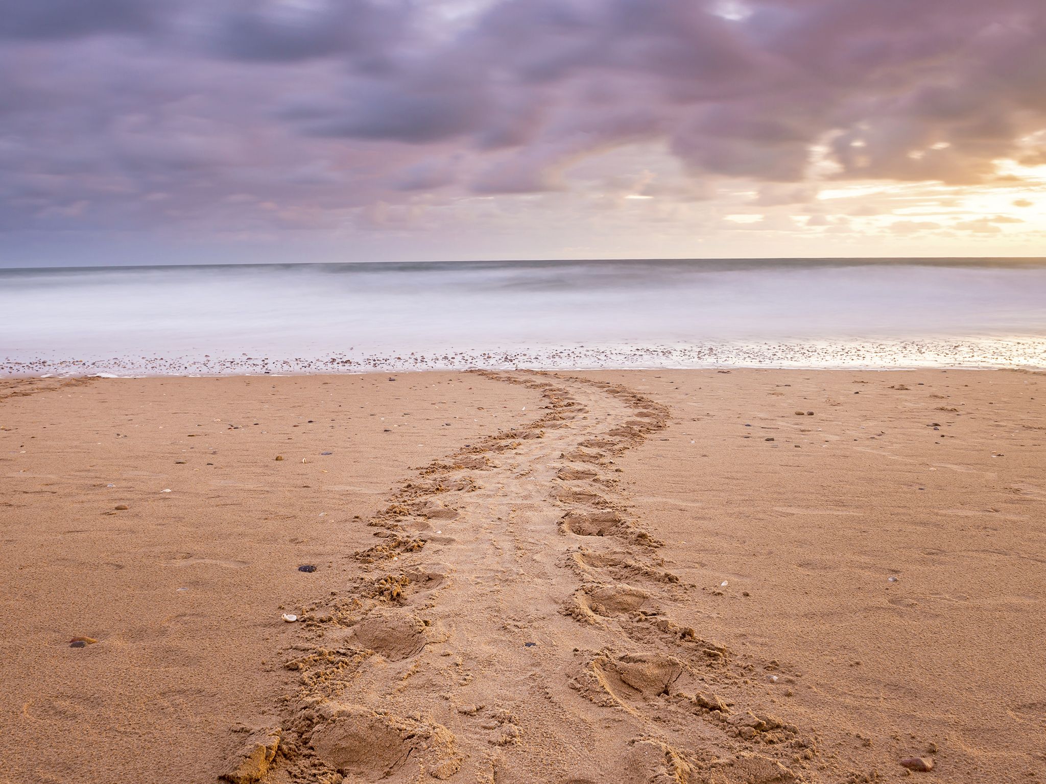
![During the turtle nesting season, look for tracks on the beach.]() During the turtle nesting season, look for tracks on the beach.
Photo credit: © Lauren Bath
During the turtle nesting season, look for tracks on the beach.
Photo credit: © Lauren Bath
-
![Take in the stunning scenery on the Coastal track.]() Take in the stunning scenery on the Coastal track.
Photo credit: Robert Ashdown © Queensland Government
Take in the stunning scenery on the Coastal track.
Photo credit: Robert Ashdown © Queensland Government
-
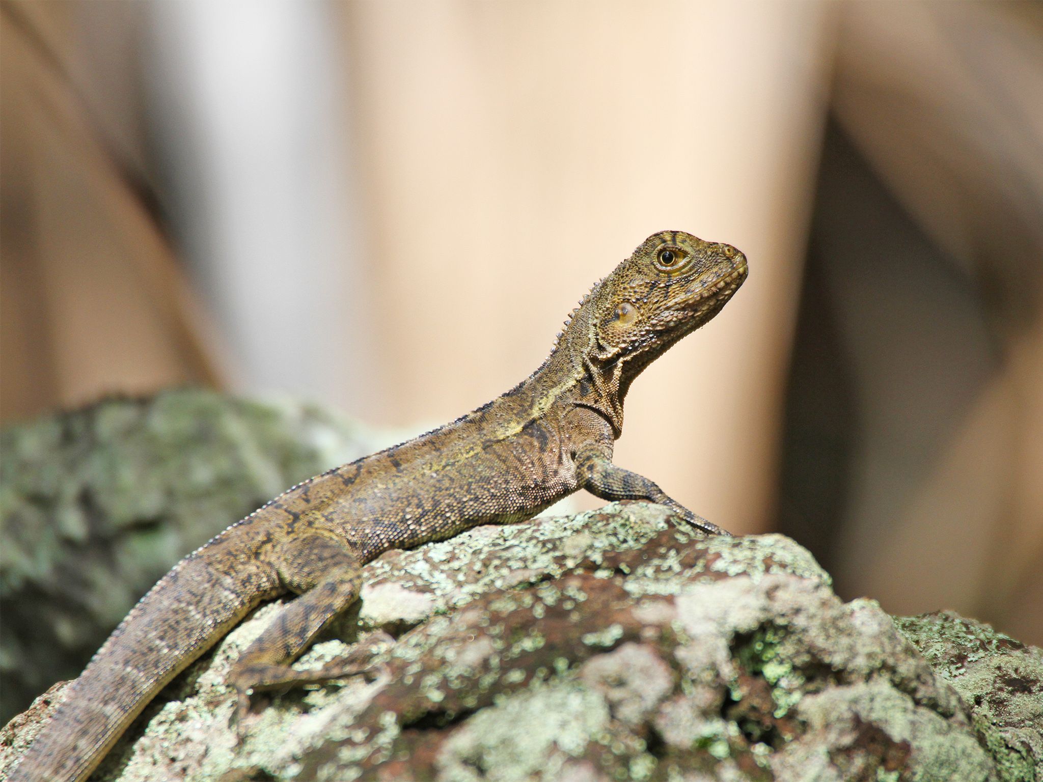
![You might see eastern water dragons soaking up the sun on the rock wall.]() You might see eastern water dragons soaking up the sun on the rock wall.
Photo credit: © John Gatley
You might see eastern water dragons soaking up the sun on the rock wall.
Photo credit: © John Gatley
-
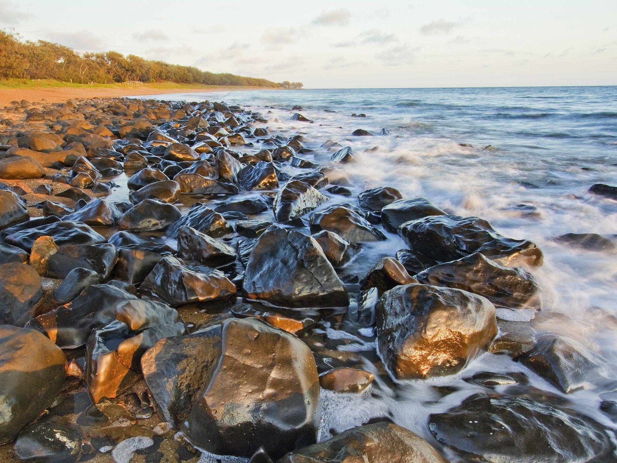
![The South Sea Islanders' rock wall is a physical reminder of the past.]() The South Sea Islanders' rock wall is a physical reminder of the past.
Photo credit: Robert Ashdown © Queensland Government
The South Sea Islanders' rock wall is a physical reminder of the past.
Photo credit: Robert Ashdown © Queensland Government
-
![Kids love exploring the beach.]() Kids love exploring the beach.
Photo credit: Robert Ashdown © Queensland Government
Kids love exploring the beach.
Photo credit: Robert Ashdown © Queensland Government
-
![You'll find animals and corals in the rock pools.]() You'll find animals and corals in the rock pools.
Photo credit: Robert Ashdown © Queensland Government
You'll find animals and corals in the rock pools.
Photo credit: Robert Ashdown © Queensland Government
-
![Wander along the scenic round trip from the Turtle Centre.]() Wander along the scenic round trip from the Turtle Centre.
Photo credit: Robert Ashdown © Queensland Government
Wander along the scenic round trip from the Turtle Centre.
Photo credit: Robert Ashdown © Queensland Government
-
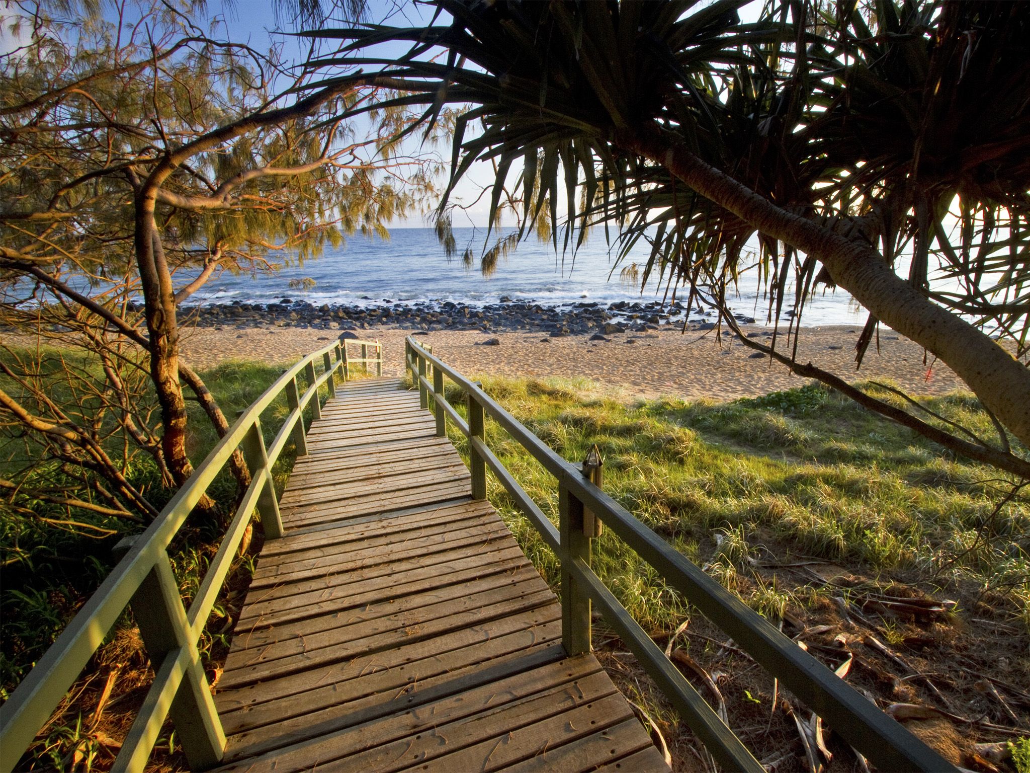
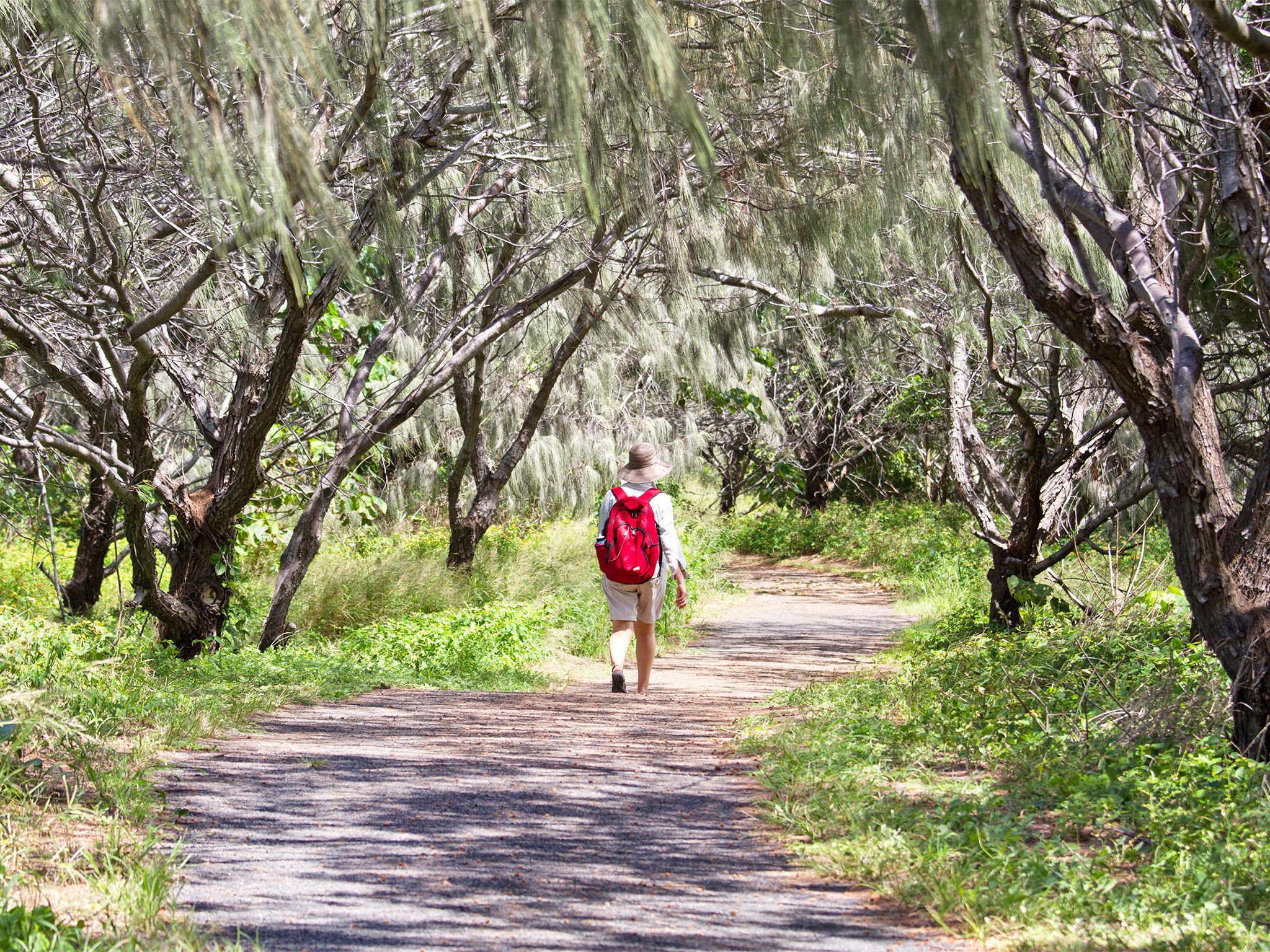
![The track leaves the beach and loops back through shady bushland.]() The track leaves the beach and loops back through shady bushland.
Photo credit: Robert Ashdown © Queensland Government
The track leaves the beach and loops back through shady bushland.
Photo credit: Robert Ashdown © Queensland Government


The coastal track leads north and south from the Mon Repos Turtle Centre and explores the beach. It is also accessible from the Mon Repos Road car park and the Moores Road car park.
Take drinking water with you and wear sunscreen. Insect repellent is recommended. Toilets and a water bottle refill station are available at the Turtle Centre between 9am and 2pm.
Heading south from the Mon Repos Turtle Centre along the walking track and you’ll soon arrive at the impressive 1880s South Sea Islander rock wall. The 1.5m-high wall stretches for 1.6km and was built by South Sea Islanders as they cleared rocks from the nearby cane fields.
The track features include saltpans, a tidal lagoon, freshwater ponds, mangroves, remnants of Woongarra rainforest, and coastal scenery. A wide variety of habitats make this park a great place for seeing birdlife, tidal wildlife and other animals. Check tides before setting out as sections of the track can be difficult to access during very high tides.
If it’s low tide when you reach the beach, explore the colourful rock pools for corals, sponges, fish and other marine life.
Getting there and getting around
Getting there
The Mon Repos Coastal track is in Mon Repos Conservation Park, 14km east of Bundaberg in the Wide Bay area.
- Mon Repos Conservation Park map
- From the park entrance off Mon Repos Road, follow Rookery Road for 750m to the Mon Repos Turtle Centre.
- Access the Mon Repos coastal track from the Mon Repos Turtle Centre. If the Turtle Centre car park is full, alternative parking is available at the Mon Repos Road car park.
- Arriving via the Turtle trail from Bargara or Burnett Heads. Stop at the Turtle Centre, to access the Mon Repos coastal track to see some other park features. Bike riders secure your bike before heading off on this walking track.
Note: Park access from Nielson Park and Bargara is via Bargara Road, turn right at Bargara State School into Potters Road, right again at Grange Road and then continue straight ahead to Mon Repos Road.
Read more park access information.
Before you visit
Opening hours
- Seasonal closure: this walking track is closed between 6pm and 6am from 15 October to 30 April to protect nesting and hatching turtles.
- The walk is open at all other times of the year.
Visiting safely
For more safety information see Visiting Mon Repos safely and Walk with care.
- There are currently no park alerts for this park.