Figtree Point camping area
Unwind among the open forests of eucalypts and fringing melaleucas on the upper Noosa River after a hard day's walk or paddle.
Accessible by
- Walk-in
- Boat
- Canoe or kayak
Camping area facilities
- Mooring points
- Picnic tables
- Toilets (non-flush)
- Tent camping
- Short walk to tent
- Long walk to tent
- Walking
- Canoeing and kayaking
- Boating
- Fishing
-
![Enjoy shady camping at Fig Tree Point.]() Photo credit: Trevor Hatfield © Queensland Government
Photo credit: Trevor Hatfield © Queensland Government
-
![Set on the northern shore of Fig Tree Lake, Fig Tree Point camping area is a perfect stop for kayakers, canoeists and boaties.]() Set on the northern shore of Fig Tree Lake, Fig Tree Point camping area is a perfect stop for kayakers, canoeists and boaties.
Photo credit: Rob Cameron © Queensland Government
Set on the northern shore of Fig Tree Lake, Fig Tree Point camping area is a perfect stop for kayakers, canoeists and boaties.
Photo credit: Rob Cameron © Queensland Government

Always check
- Park alerts for the latest information on access, closures and conditions.
- Bureau of Meteorology weather forecasts.
- Current bushfire warnings and incidents and also fire bans and restrictions.
- Your camping permit is booked.
- Any park-specific camping information for
Cooloola Recreation Area.
- Visiting Cooloola Recreation Area safely for important safety information.
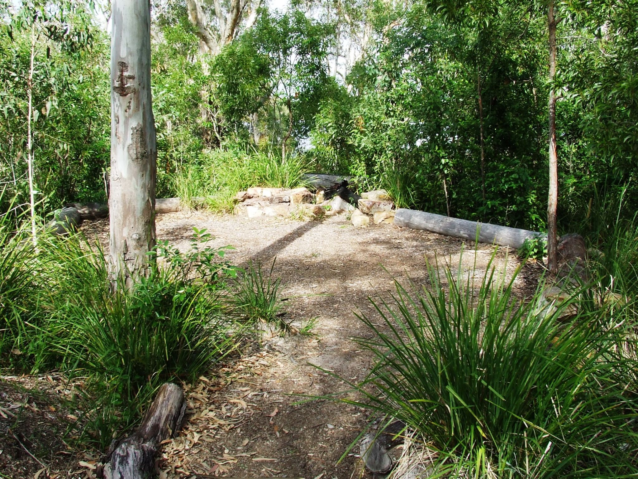
Relish the beauty of the northern shore of Fig Tree Lake from your shaded camp site among scribbly gums, brush box, pink bloodwoods and swamp paperbarks. Relax for the night after a day’s hiking on the Cooloola Wilderness Trail or adventuring along the Upper Noosa River waterway in your boat, canoe or kayak. It’s just a short walk from the jetty and canoe landing to the camping area beside the Fig Tree Point day-use area.
While you're here, explore the Melaleuca circuit then head to the lake to throw in a fishing line or spot waterbirds such as cormorants, wood ducks, egrets, spoonbills and darters in the early morning or late afternoon.
Getting there and getting around
Fig Tree Point camping area is in Cooloola Recreation Area, Great Sandy National Park, on the Sunshine Coast between Noosa Heads and Rainbow Beach (155–240km north of Brisbane).
- The camping area is 2km north of the Kinaba Visitor Information Centre along the Upper Noosa River waterway.
- You can access the camping area by the canoe from Elanda Point, boat from Boreen Point; or on foot along the Cooloola Wilderness Trail.
- There is no road access to Fig Tree Point, except for emergency and management vehicles.
- Commercial tour boats operate daily from Noosa and Tewantin. Canoes, kayaks and small boats can be hired from private operators at Boreen Point and Elanda Point.
- For tourism information for all regions in Queensland, see Queensland.com, and for friendly advice on how to get there, where to stay and what to do, find your closest accredited visitor information centre.
- Read boat and fish with care for tips on boating and fishing safety and caring for parks.
- Read water safety for important information about staying safe in and near water and caring for parks.
By canoe
- Drive 1.4km on the access road to the Elanda Point car park and canoe launch area.
- Paddle 4.5km (1hr) to the Kinaba Visitor Information Centre, then paddle a further 20mins north to the camping area.
- Stay close to the shore line while paddling northwards. Plan to cross Lake Cootharaba early in the morning when conditions are likely to be calm and easy to travel.
By boat
- Launch your boat from the Boreen Point boat ramp on Urunga Parade and follow the lake navigation markers out into deeper water and then head on a north-east trajectory towards the visible Cooloola Sandpatch in the distant landscape. When you approach a red navigational marker in the middle of the lake (opposite Elanda Point), turn on a near northerly trajectory to the channel markers through very shallow shoals to the Kinaba Visitor Information Centre, then travel a further 15mins north (6 knots maximum speed limit) to the camping area.
- The trip is 7km and boats will take 15mins travel time at 6 knots maximum speed limit.
- From Kinaba, travel a further 15mins north (6 knots maximum speed limit) to the Fig Tree Point day-use area.
Via the Wilderness trail
- From the start of the Cooloola Wilderness trail at Elanda Point, walk 10.6km (3.5hrs) to the camping area.
- Read walk with care for tips on walking safely and walking lightly.
Getting to Boreen Point and Elanda Point
- From Brisbane drive 135km north on the Bruce Highway or the Sunshine Motorway to Tewantin; or from Gympie drive 58km south and east on the Bruce Highway to Tewantin.
- From Tewantin drive 19km west and north via McKinnon Drive and Louis Bazzo Drive to Boreen Point. Turn left onto Lake Flat Road and drive 2km to the Elanda Point access road.
Before you visit
Opening hours
Fig Tree Point camping area is open 24 hours a day. Check-in to your camp after 2pm and check-out by 11am on the day of departure.
Check park alerts for the latest information on access, closures and conditions.

Fig Tree Point camping area has a grassed day-use area nearby and offers a short (500m) walking track—the Melaleuca circuit track.
Photo credit: Robert Cameron, Queensland Government
Features: Fig Tree Point camping area is set among open forests with some wet, closed forest types (melaleuca species and cabbage tree palms). Camp sites provide limited shade. There is a grassed day-use area nearby and a short 500m walking track.
Location: Approximately 6.5km from Elanda Point or approximately 10km from Boreen Point via the upper Noosa River.
Maps:
No. sites: There is a defined camping area with numerous tent pads. The area caters for up to 3 groups of 8 people to a maximum of 24 people in total.
Access: The camping area can be reached by boat, canoe or walking track. Vehicle access permits are NOT required to access this camping area.
Suitable for: Walk-in camping, river access camping for canoes, kayaks and boats, and large groups.
Surface: Sand
Facilities: Untreated water (treat before drinking), toilets, picnic tables, jetty or canoe landing area.
Open fires: Prohibited
Generators: Prohibited
Essentials: See: before you visit
Mobile phone coverage: Generally available.
Bookings: Advance bookings required for holiday periods including long weekends and public holidays.
- Book online now
- If you cannot book online, see other booking options.
Please note: schools and other organised groups are required to make advanced bookings online.
Upcoming camping area availability
Visiting safely
For more safety information see Visiting Cooloola Recreation Area safely and camp with care.
- Pest control program at Teewah Beach and Freshwater camping areas 13–16 May 2024
- King’s Bore Circuit temporary closure 12 May to 10 June 2024
- Planned Burn - Block 8 24–28 April 2024
- Annual Cooloola Hazard Reduction Burn Program 15 April to 31 August 2024
- Permanent fire prohibition on Teewah Beach 1 April 2021 to 11 October 2024
- Cooloola Wilderness Trail - No pedestrian access across Kin Kin Creek 31 January to 1 July 2024
- Portable toilets mandatory for Teewah Beach camping zones 15 March 2022 to 29 November 2024
- Unstable sand cliffs and dunes along Rainbow and Teewah beaches 4 August 2023 to 30 June 2024
- Marine turtles breeding season 1 November 2023 to 30 April 2024
Conditions report
Cooloola conditions report Updated 17 Apr 2024
Critical information for your safety is included in the conditions report—always check it before you visit.