Poverty Creek access track
Set off on a 4WD adventure along this inland sandy track to explore the island's beautiful varied landscapes and fascinating wildlife.
- Journey type
- 4WD
- Distance
- 5km one way A path where the start point is different to the finish point
- Grade
- Unrated
Accessible by
- High clearance 4WD
Journey facilities
- Scenic drive
-
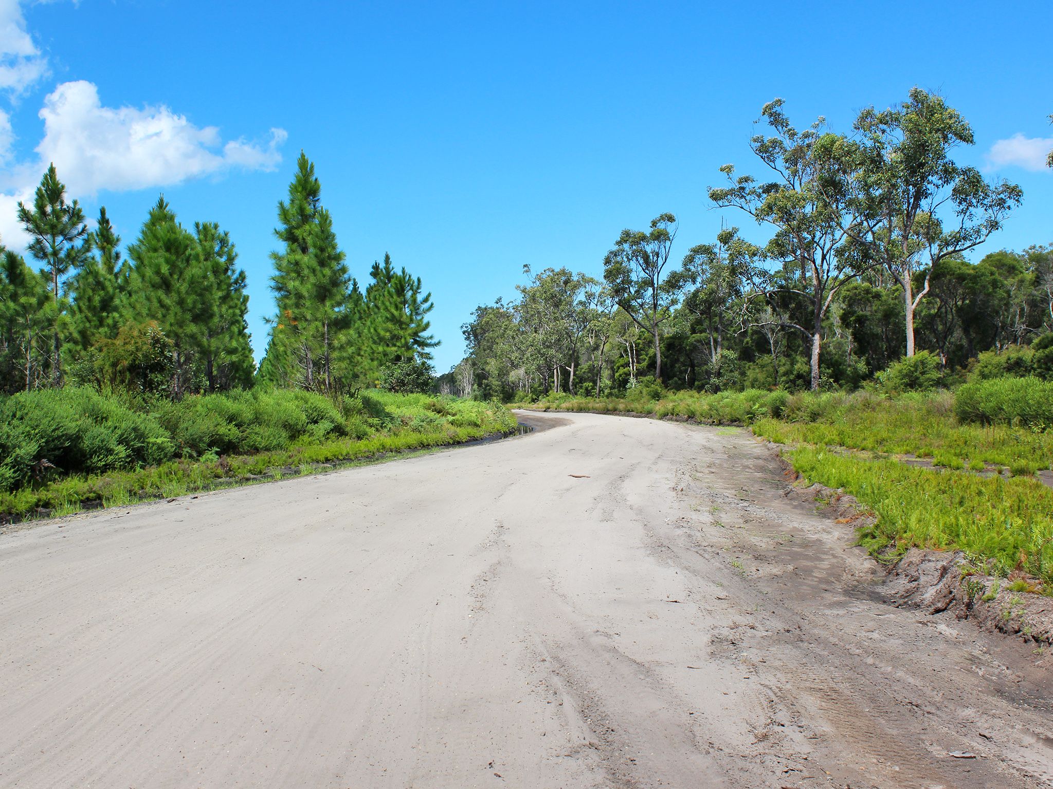
![The landscape changes dramatically.]() The landscape changes dramatically.
Photo credit: Rose Gray © Queensland Government
The landscape changes dramatically.
Photo credit: Rose Gray © Queensland Government
-
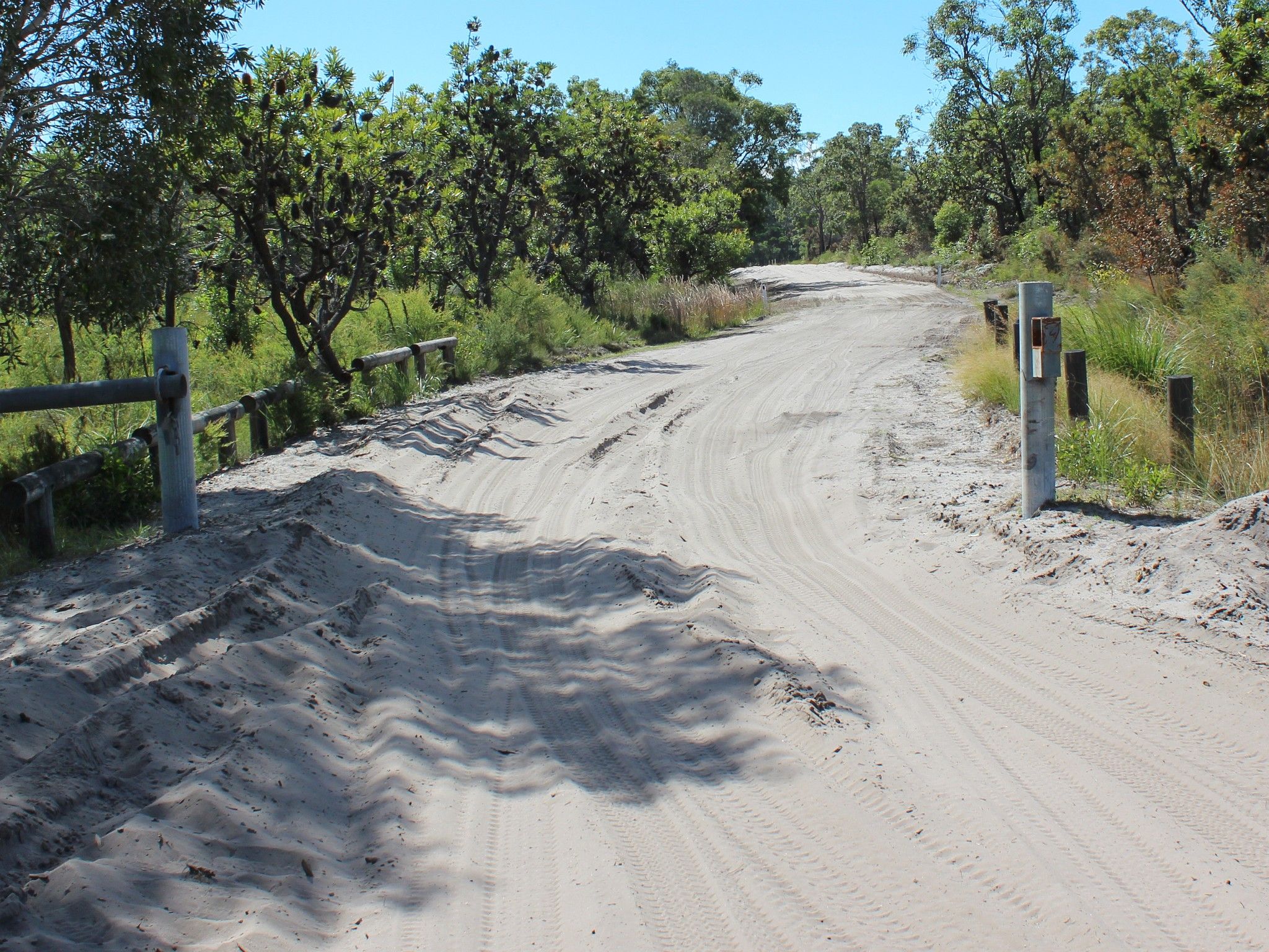
![You'll enjoy this short but dynamic drive.]() You'll enjoy this short but dynamic drive.
Photo credit: Rose Gray © Queensland Government
You'll enjoy this short but dynamic drive.
Photo credit: Rose Gray © Queensland Government
-
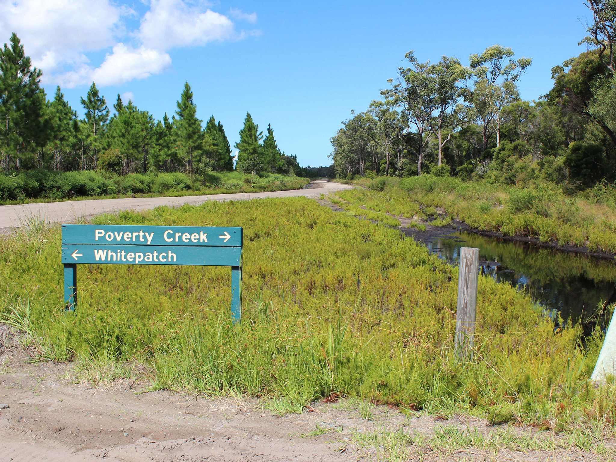
![You'll drive from White Patch to Poverty Creek day-use area.]() You'll drive from White Patch to Poverty Creek day-use area.
Photo credit: Rose Gray © Queensland Government
You'll drive from White Patch to Poverty Creek day-use area.
Photo credit: Rose Gray © Queensland Government
-
![Explore the western part of the island on this track.]() Explore the western part of the island on this track.
Photo credit: Rose Gray © Queensland Government
Explore the western part of the island on this track.
Photo credit: Rose Gray © Queensland Government
-
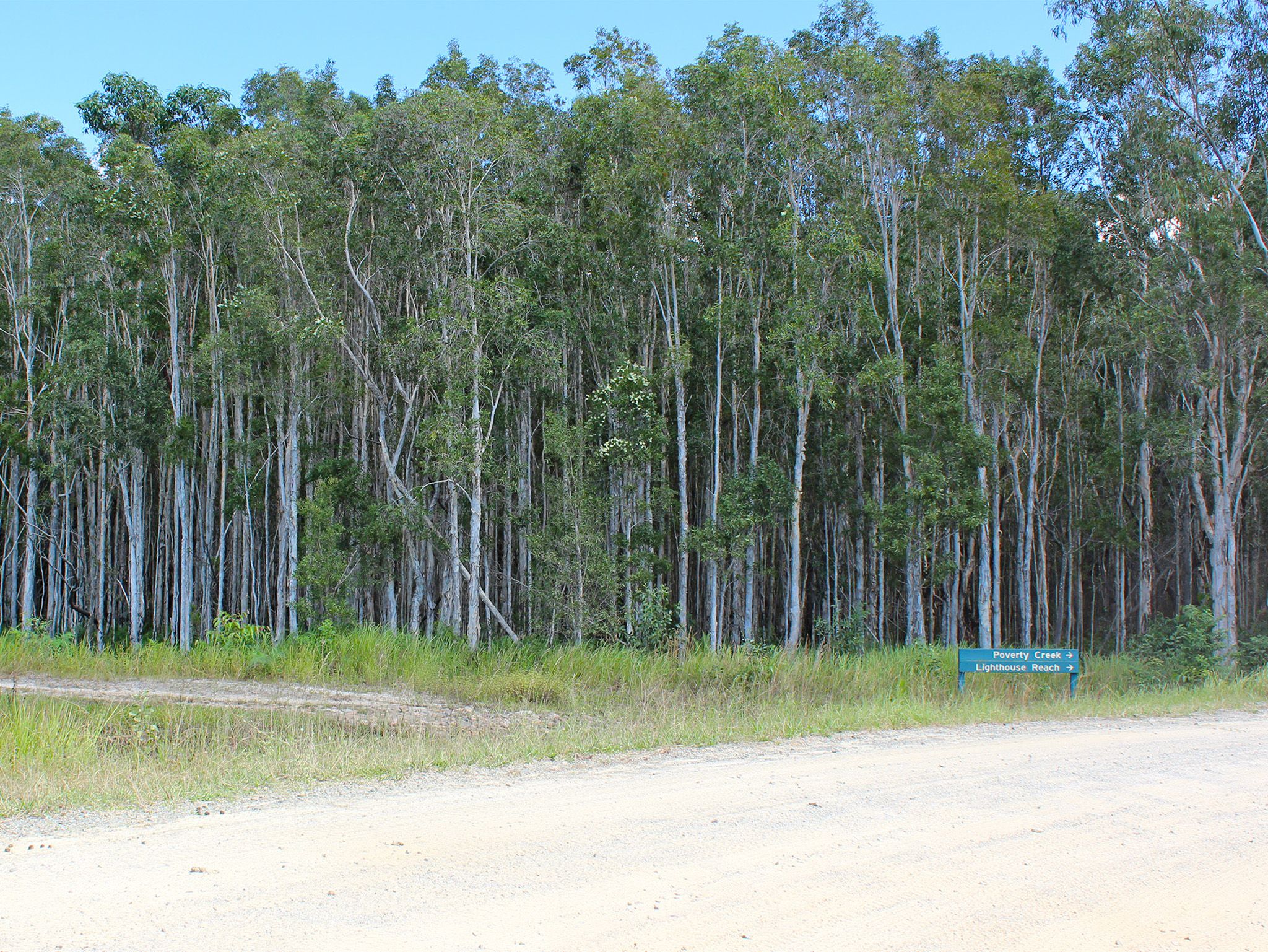
![The track will also take you to the Poverty Creek camping area.]() The track will also take you to the Poverty Creek camping area.
Photo credit: Rose Gray © Queensland Government
The track will also take you to the Poverty Creek camping area.
Photo credit: Rose Gray © Queensland Government
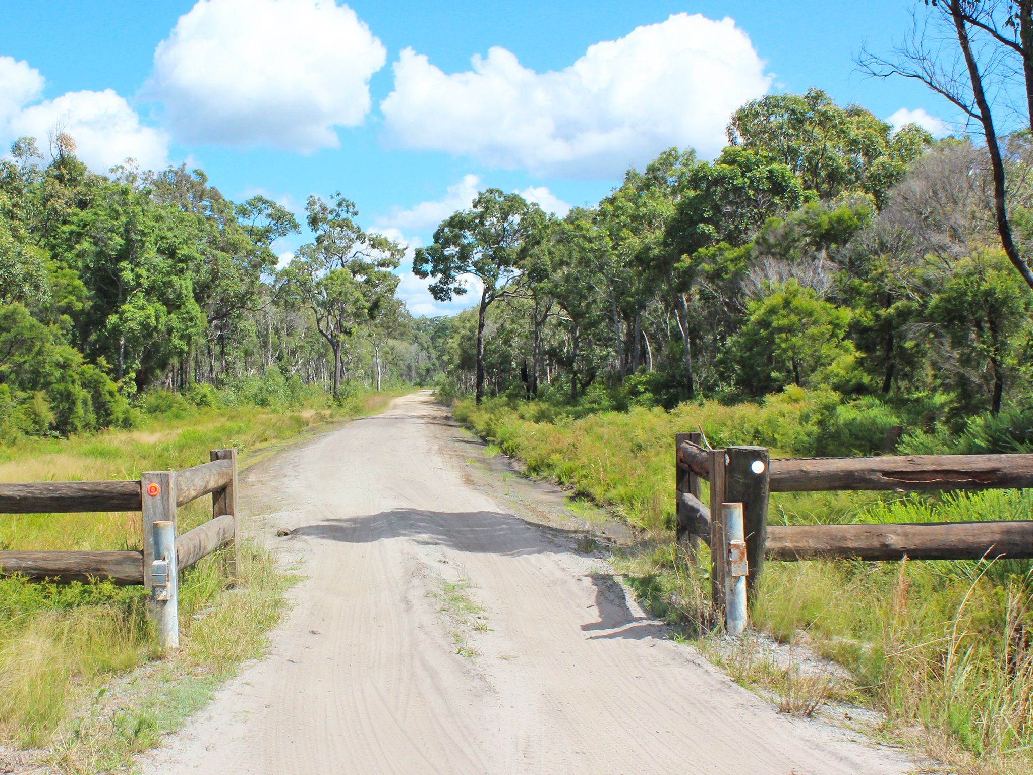
Discover a fascinating history and experience a changing landscape as you drive along this 4WD inland track from White Patch to Poverty Creek day-use area. Drive through a sustainable timber plantation and national park and keep a lookout for eastern grey kangaroos often spotted in the surrounding bushland.
Detour into Gallagher Point and Poverty Creek camping areas along the way, and if you're keen for a spot of fishing, launch your boat from the beaches near the camping areas. Bribie's mudflats, seagrass beds, mangroves, salt marsh and claypan communities along with extensive tidal wetlands are part of Moreton Bay Marine Park.
Getting there and getting around
The Poverty Creek access track is in Bribie Island National Park and Recreation Area, 65km north of Brisbane. The island can be reached via a road bridge from the Caboolture turn-off on the Bruce Highway.
- This drive takes you along a short inland track, from White Patch to Poverty Creek camping area on the shores Pumicestone Passage.
- From the bridge, drive north along Sunderland Drive and continue along White Patch Esplanade.
- At White Patch, follow the main track north, passing the turn-off to Gallagher Point camping area.
- At the next track intersection, veer left and continue to the Poverty Creek camping area.
- A high-clearance 4WD with low range capability is required to drive this route.
- A vehicle access permit must be purchased. Display the permit on your windscreen before driving in the recreation area. 24hr number plate surveillance cameras in use. For more information see:
- Read 4WD with care for important information on 4WD safety and minimal impact driving.
Speed limits
- 30km/hr on inland tracks.
- 10km/hr at Poverty Creek camping area.
Getting to Bribie Island
The island can be reached via a road bridge from the Caboolture turn-off on the Bruce Highway, or by boat from the nearby mainland.
Wheelchair access
There are no wheelchair-accessible facilities.
Drinking water
- There is no drinking water supplied along this track.
- There are taps at the Poverty Creek camping area that supply water suitable for cooking and cleaning.
- Treat all water before use.
- We recommend you bring enough water for the duration of your visit.
Before you visit
Opening hours
Poverty Creek access track is open 24 hours a day.
Check park alerts for the latest information on access, closures and conditions.
Visiting safely
For more safety information see Visiting Bribie safely and Four-wheel drive with care.
- Poverty Creek camping area closed from 15 April 2024 for toilet block upgrade 3 November 2023 to 8 July 2024
- Drive with care during marine turtle nesting season 6 March to 3 June 2024
- Camp site booking restrictions due to tidal inundation 11 January to 31 December 2024
- Bribie Island’s northern breakaway section remains part of the recreation area 30 June 2023 to 30 December 2024